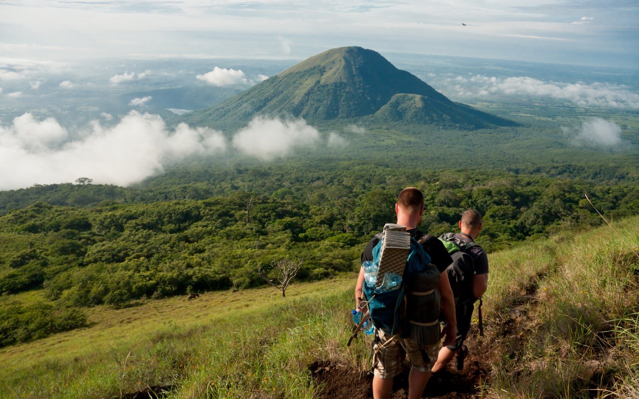
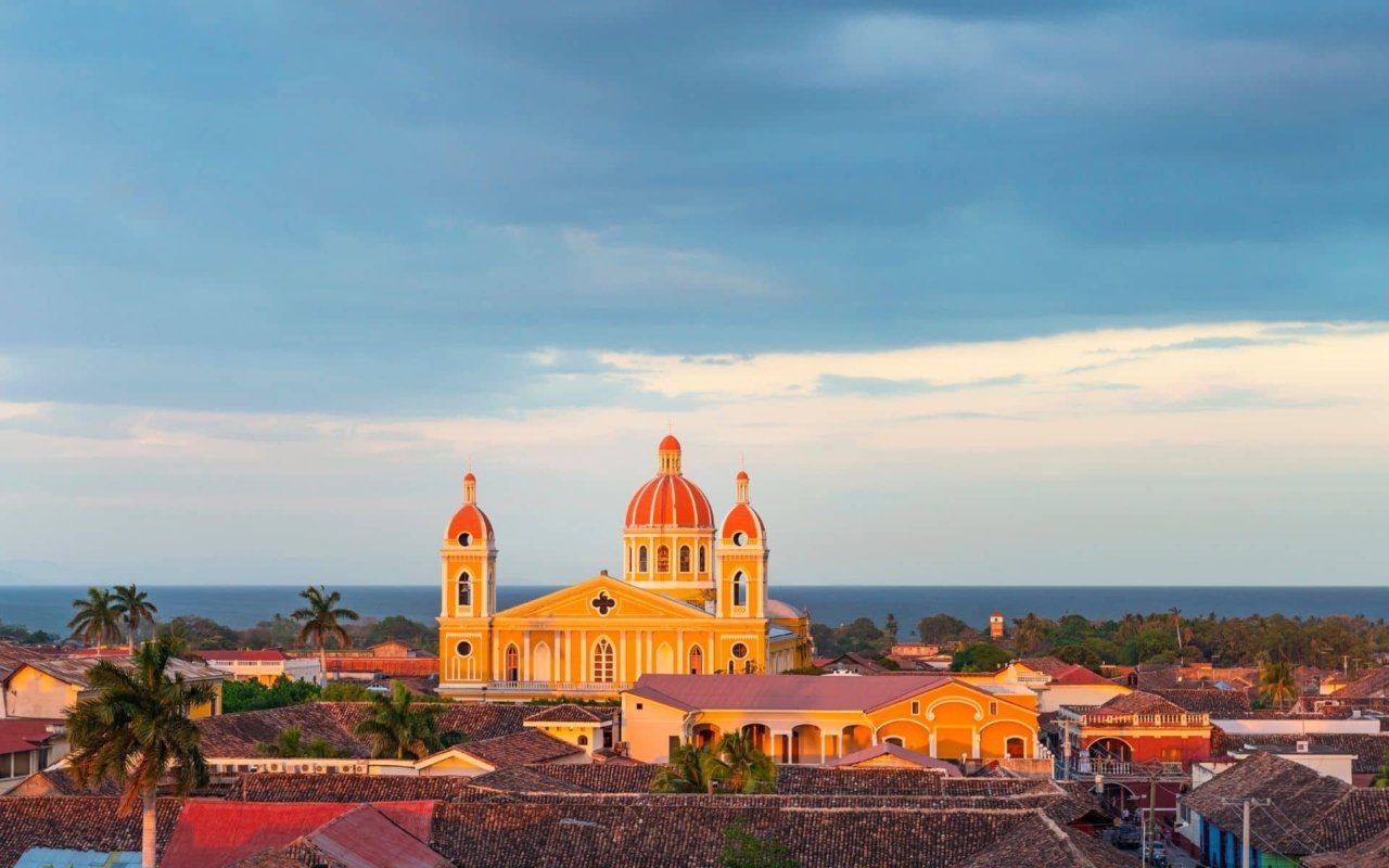
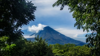
Capital of the Chontales region, about 100 km east of Managua, on the other side of the lake. Juigalpa is first and foremost the administrative center of Chontaleno, offering views and panoramas of the Cordillera de los Amerrisques, Lake Cocibolca and the island of Ometepe, with memorable sunsets . Between rustic farmhouses, haciendas and islands on the lake, the town’s setting has a certain charm…
Climate and geographynof Juigalpa
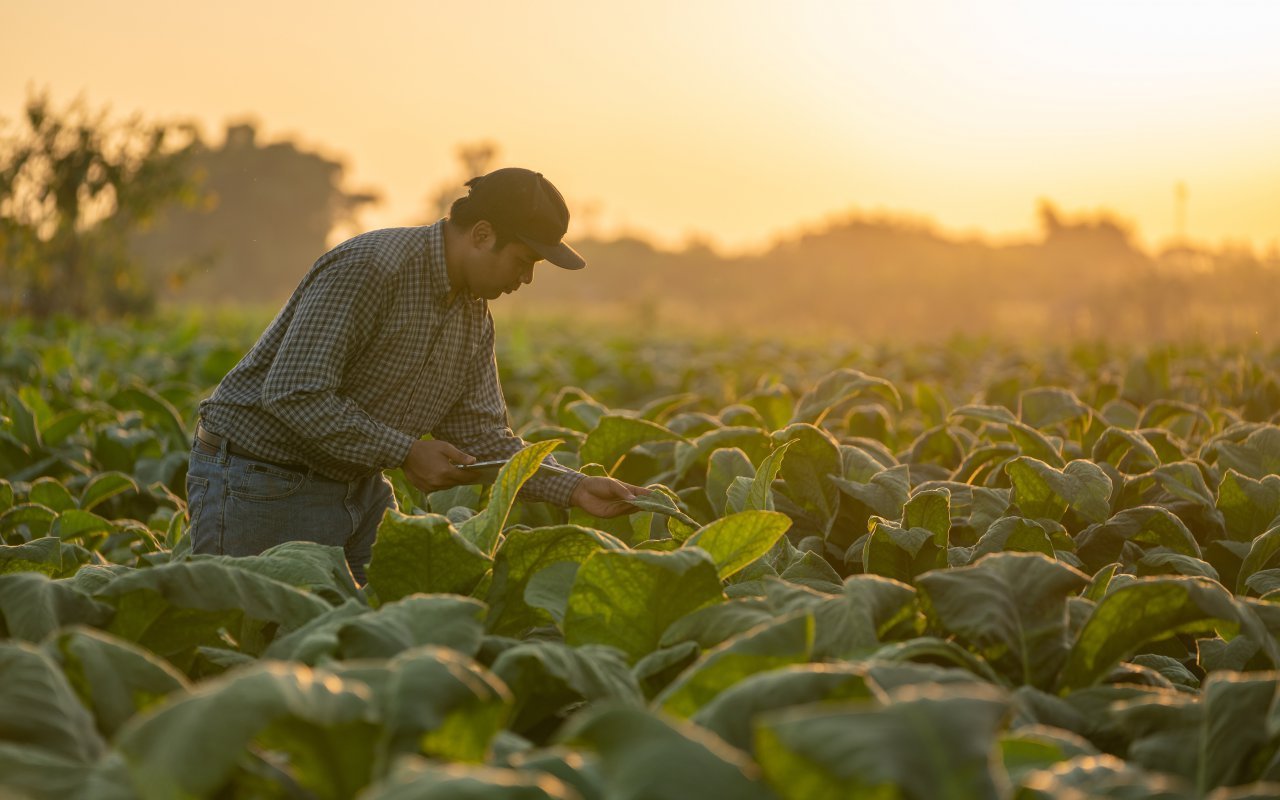
Juigalpa, a municipality of over 50,000 inhabitants, is located some 140 kilometers from the capital Managua. The city lies in the central part of the country, on the other side of Lake Nicaragua from Granada, between the northeast coast of the lake, the Ameriscan mountain range and its small valleys .The region is tropical, with warm temperatures of between 25 and 28 degrees all year round. The high humidity allows the surrounding countryside to be decked out in every shade of green. The fertile soils and abundant pastures are the reason for the region’s economic prosperity.

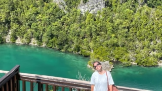
The Mayales, an 80 km-long river, flows not far from the town. In summer, a small local spa can be found at the foot of the waterfall, and the 20 km or so distance from the coast of Lake Nicaragua guarantees a certain coolness and humidity to the region. Like the Isletas of Sultana Granada, small islands dot the shores of the lake, where the flora and fauna are rich and the potential for tourism great, but still in its infancy.
Its history
According to some, Juigalpa comes from the Aztec language, meaning « great city ». Others read a less poetic meaning: « breeding of black snails ». Another, more local version, proposes the following explanation: the land is arid and jicaros (calabashes) are abundant, so Juigalpa means « place of abundance of jicaros ».
In the 18th century, the city of Juigalpa was home to 34 communities or groups of workers in fincas or on ranches, numbering some 1,000 people. Nearly a hundred cattle ranches, sugar mills and numerous farms were located in the region. As a result, horned heads and cattle made the wealth of many families in Granada, in particular.

The Juigalpa region is rich in minerals, and numerous mines still dot the area today. Juigalpa’s geographical location, at the crossroads between Granada and the cities of La Libertad and Santo Domingo, has enabled the city to enjoy prosperous economic development, benefiting from the transit of goods and minerals through its roads and gates.
What to do in and around Juigalpa?
The Juigalpa region offers several points of special interest
- Museo Arqueológico Gregorio Aguilar Barea (Gregorio Aguilar Barea Archaeological Museum ), featuring various stone sculptures and ancient artefacts unearthed in the mountains, as well as the remains and footprints of the Chontal natives.
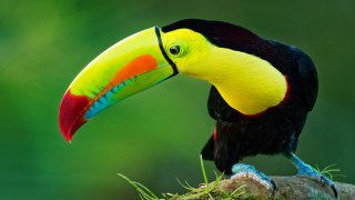
- Thomas Belt Zoo, which exhibits various species of national tropical fauna and a few other exotic species
- the village of Puerto Diaz and its small islands
- punta Mayales, surrounded by farmland, tropical forest and more than 20 islets
- the villages of Santo Tomás and San Pedro de Lóvago, which in addition to livestock farming boast petroglyphs, waterfalls and numerous caves
- the mining villages of La Libertad and Santo Domingo, where you can see the remains of ancient industrial and artisanal gold mining.